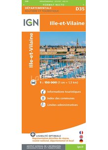
Carte D28 EURE ET LOIR
Überblick
cartes routières et administratives riches en informations touristiques à l' échelle très lisible au 1 : 150 000 (1cm = 1,5km) qui vous permettent d'avoir accès aux : distinction des routes départementales et locales. Index des communes et limites...|4.95|http://www.latitude360.fr/pl/shopping/fiche_produit.pl?lg=fr&itm=74039&afid=AF6|Livre|http://www.latitude360.fr/images/upload/generated/products/002/std/9782758544197.jpg|2|3.5||http://www.latitude360.fr/images/interface/fr/photo_fiche_produit.gif|IGN|||en stock| 36642|Carte D35 ILLE ET VILAINE|cartes routières et administratives riches en informations touristiques à l' échelle très lisible au 1 : 150 000 (1cm = 1,5km) qui vous permettent d'avoir accès aux : distinction des routes départementales et locales. Index des communes et limites...